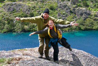
Argentina's greatest road trip? Come and see for yourself...
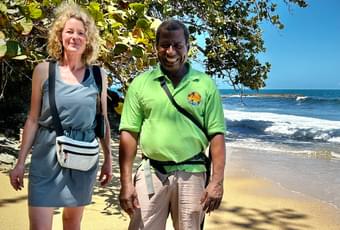
Follow in Kate Humble's footsteps on a coast-to-coast Costa Rica journey
Where will your Pura Aventura travels take you next?
Full of ideas? We're full of advice and opinions, so send them our way.
Seasonal highlights, from breaching whales to nesting turtles.
Spring walks, summer family fun, autumn strolls & winter sun.
Exceptional holiday experiences you can feel great about.
B Corp certified | 5* Platinum rated | ATOL & ABTOT protected.
Opening hours are:
Mon - Fri: 9:00 - 18:00 GMT
Weekend & holidays:
Phone lines closed (please email)
Create your own stories. Experience Argentina with Pura Aventura, unique itineraries based on 25 years of discovery, tailored to you.
Argentina Holidays